What is Geographic Information Systems (GIS)?
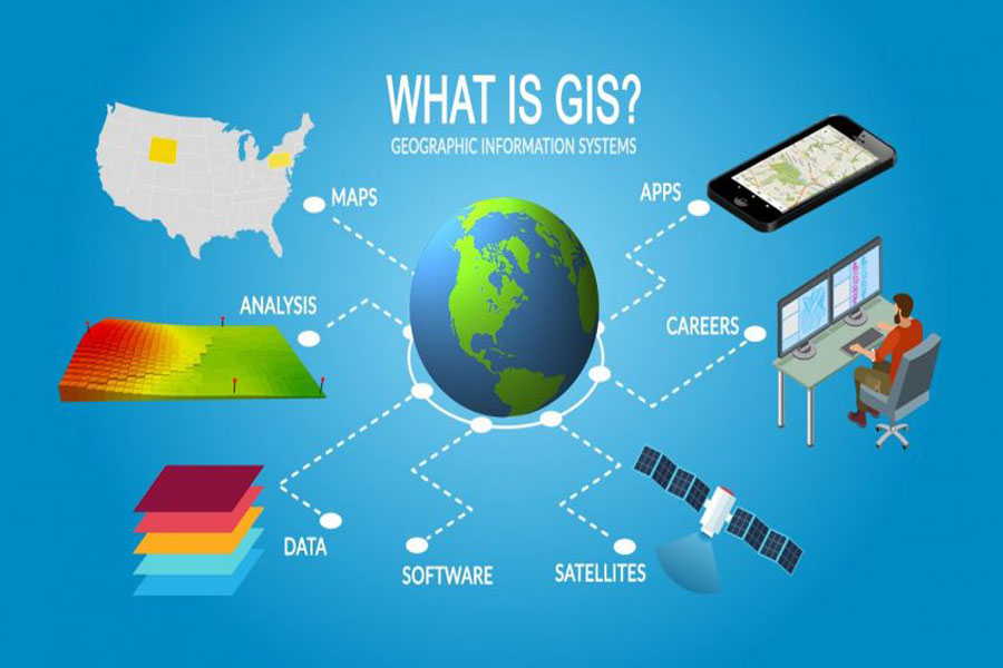
Geographic Information Systems (GIS) store, analyze and visualize data for geographic positions on Earth’s surface. GIS is a computer-based tool that examines spatial relationships, patterns and trends. By connecting geography with data, GIS better understands data using a geographic context.
The 4 main ideas of Geographic Information Systems (GIS) are:
- Create geographic data.
- Manage it in a database.
- Analyze and find patterns.
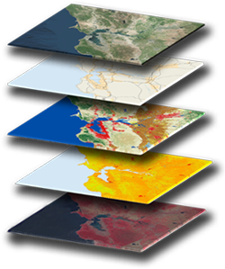
- Visualize it on a map.
Because viewing and analyzing data on maps impacts our understanding of data, we can make better decisions using GIS. It helps us understand what is where. Analysis becomes simple. Answers become clear.
Every day, GIS powers millions of decisions around world. It makes a big impact in our life and you might not even realize. For example, we use GIS for:
- Pinpointing new store locations
- Reporting power outages
- Analyzing crime patterns
- Routing in car navigation
- Forecasting and predicting weather